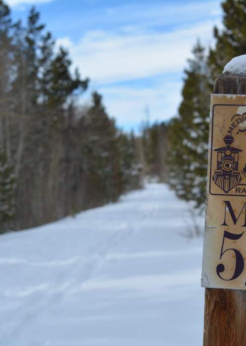
Medicine Bow Rail Trail & Fox Park Area
The Medicine Bow Rail Trail meanders through the heart of the Medicine Bow National Forest, 35 miles west of Laramie. It stretches 22 miles between the northern trailhead Dry Park and the southern trailhead Pelton Creek. There are a total of six trailheads so pick a starting point at any of the following: Dry Park, Lake Owen, Lincoln Gulch, Woods Creek, Vienna, and Pelton Creek. Fox Park is a small mountain community along the path so be mindful of private property signage. Campgrounds are available at Lake Owen and Pelton Creek and restrooms can be found at every trailhead but Dry Park and Vienna.
Animals in the forest include moose, black bear, wolves, mountain lion, bighorn sheep, pika, brown-capped rosy-finches, and more. For tips on traversing the area with active wildlife check our how to view wildlife safely page.
History
The rail corridor, called the Hahn’s Peak and Pacific Railroad, was much longer in its hay day with major stops at Laramie, Wyoming and Coalmont, Colorado. Its railcars once hauled livestock, timber, coal, and gold from the mountains. At 9,050 feet above sea level, this was the highest standard gauge railroad in the country when it was constructed in the early 1900s. Because of the high elevation you may not be prepared for a full day of hiking or trail riding - here how to handle high altitude are our recommendations to combat altitude sickness.
Maps and information about the national forest can be found at the Laramie Visitor Center or the Laramie Ranger District. More history on the Rail Trail can be found at medicinebowrailtrail.org.


